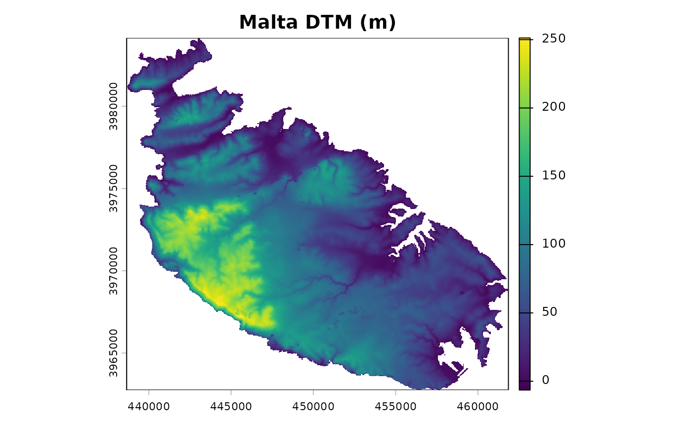
Returns a digital terrain model (DTM) of the island of Malta (Maltese
archipelago), bundled with the package as a GeoTIFF file and read on demand. The
sea is coded as NA, which makes the dataset suitable for showing how
landform handles irregular study areas.
Format
A single-layer SpatRaster: 535 rows by 580 columns, 40 m
resolution, elevation in metres, coordinate reference system ED50 / UTM
zone 33N (EPSG:23033).
Source
The same DTM is distributed with the movecost package by the
same author (movecost::mc_malta_dtm()).
Examples
dem <- malta_dtm()
terra::plot(dem, main = "Malta DTM (m)")