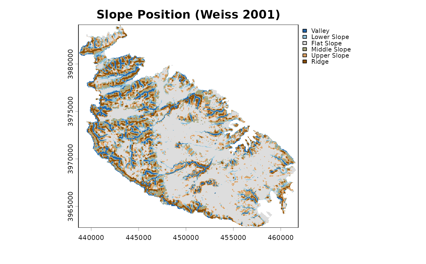
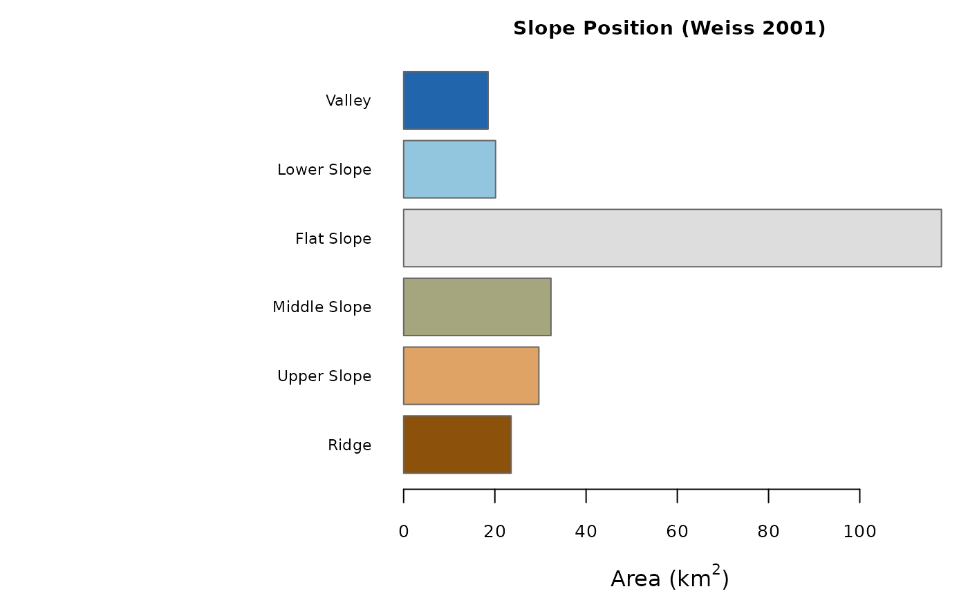
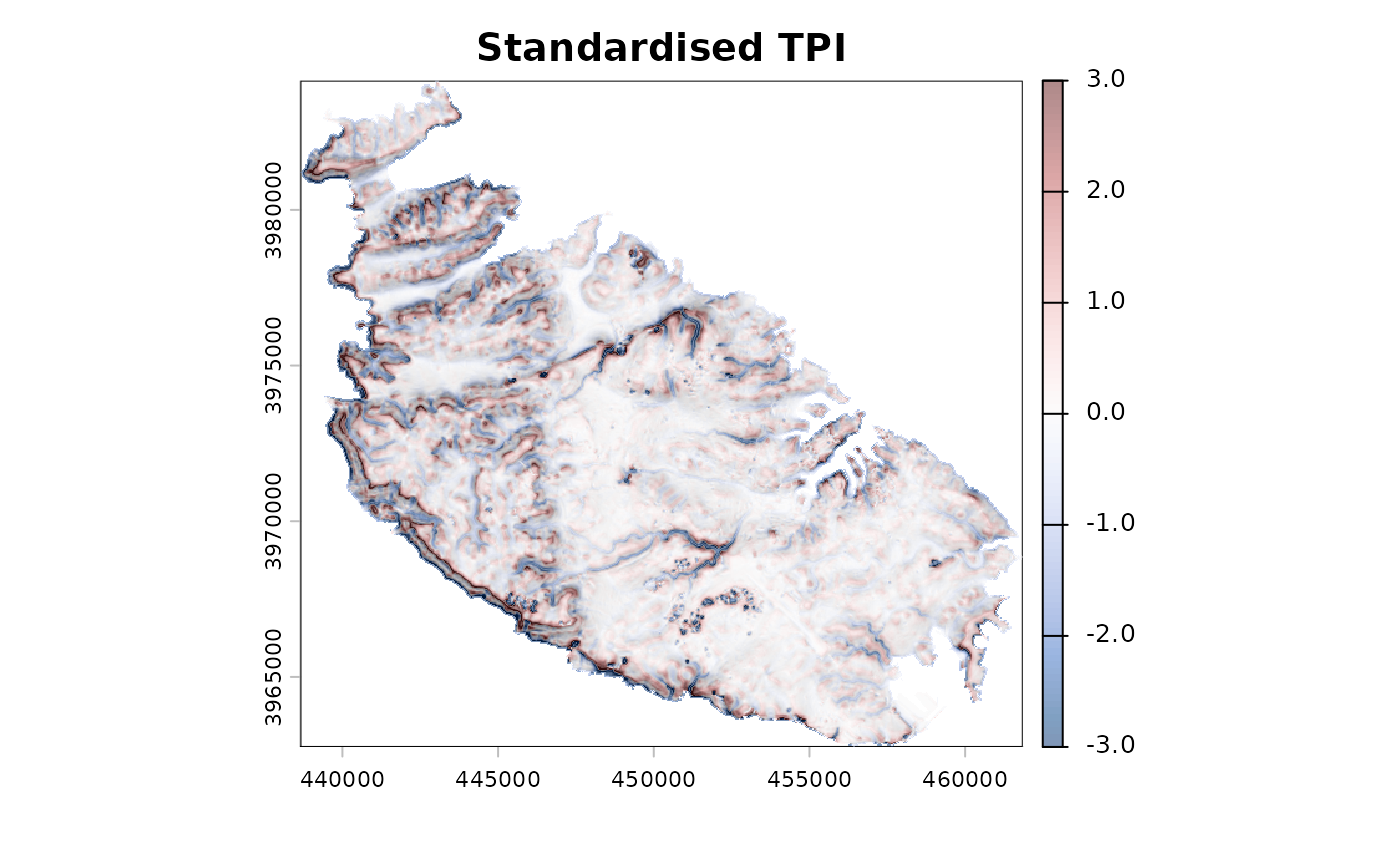
Plots the map of the classes, a bar plot of the area of each class, or the
standardised TPI surface(s), from an object returned by
landform.
Arguments
- x
An object of class
"landform".- what
What to plot:
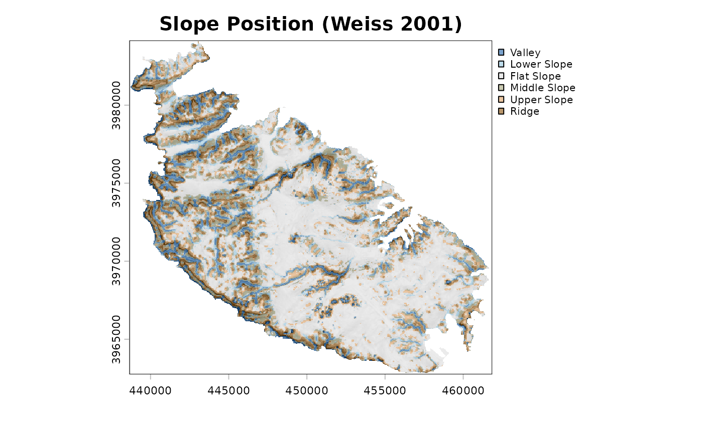
"classes"(default),"area", or"tpi".- shade
Relief shading drawn underneath the classes or the TPI:
"none"(default),"slope"(a slopeshade, that is the slope in grey levels from white for flat terrain to black for the steepest slopes), or"hill"(a hillshade, lit from the north-west at 45 degrees). See Details.- alpha
Opacity (0 to 1) of the classes or TPI drawn over the shading. Default
0.6. Ignored whenshade = "none".- leg.pos
Legend position for the map (a
legendkeyword);NULL(default) places it outside the map, to its right.- leg.cex
Magnification of the legend text. Default
0.8.- main
Plot title; a sensible default is used if
NULL.- ...
Further arguments passed to
plot(for maps) orbarplot(forwhat = "area").
Details
A slopeshade conveys relief without the directional bias of a hillshade: features facing away from the light are not darkened, and steepness is shown in the same way whatever the aspect. The grey scale is stretched between 0 degrees and the 99th percentile of slope, so that a few very steep cells do not flatten the contrast elsewhere.